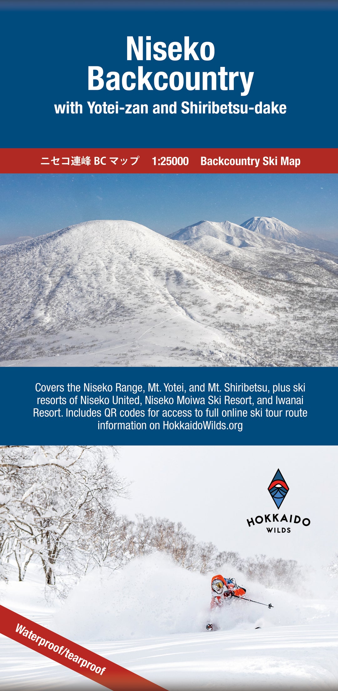
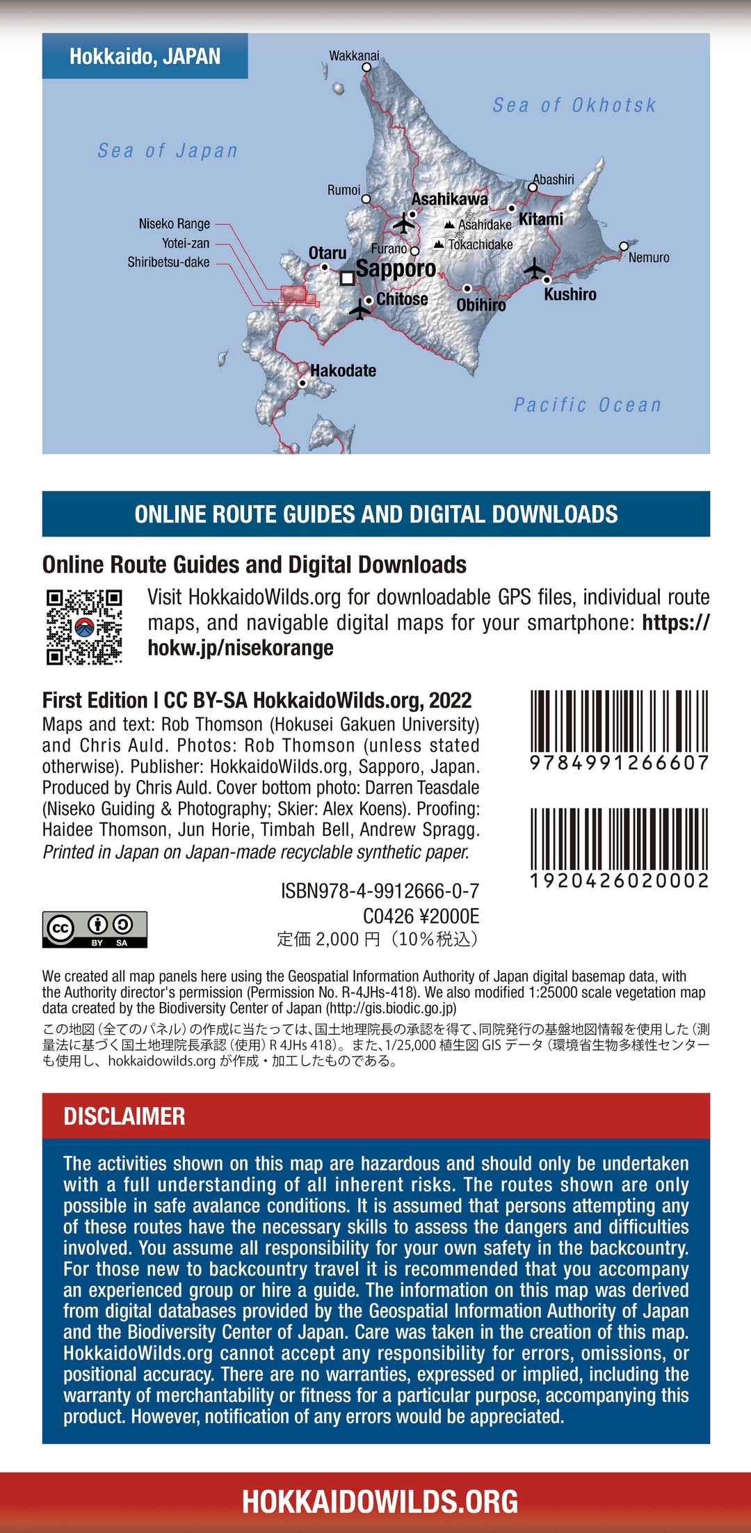
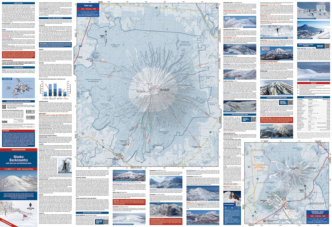
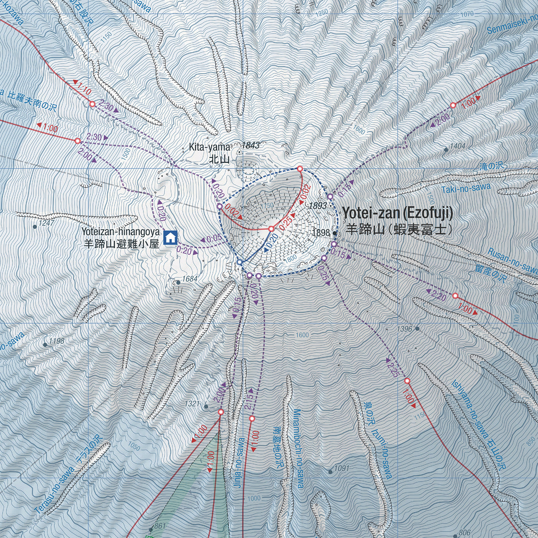
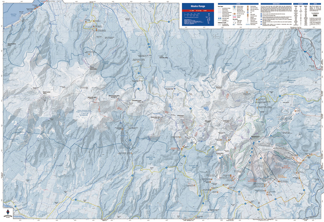
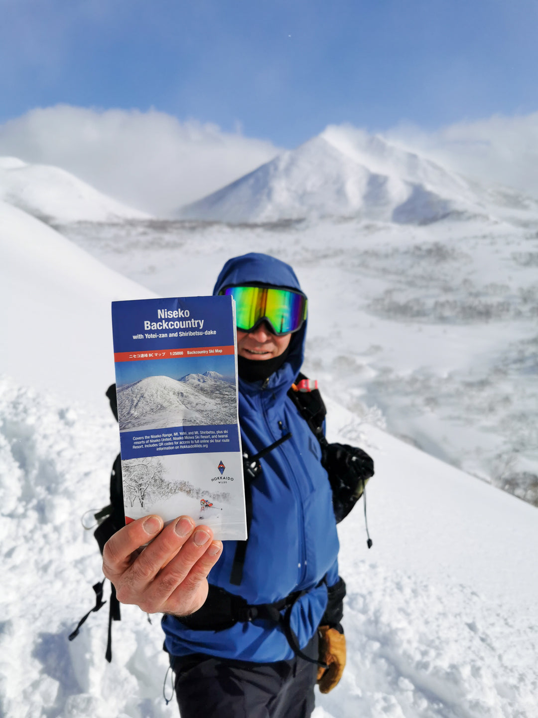
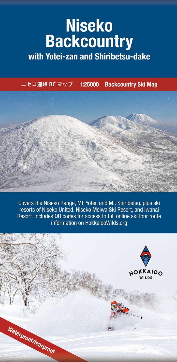
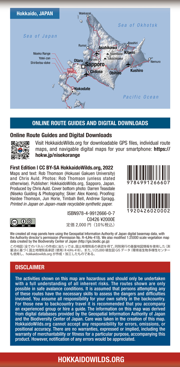
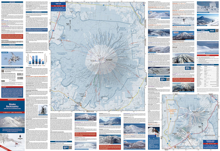
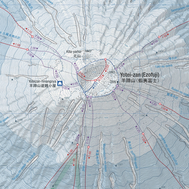
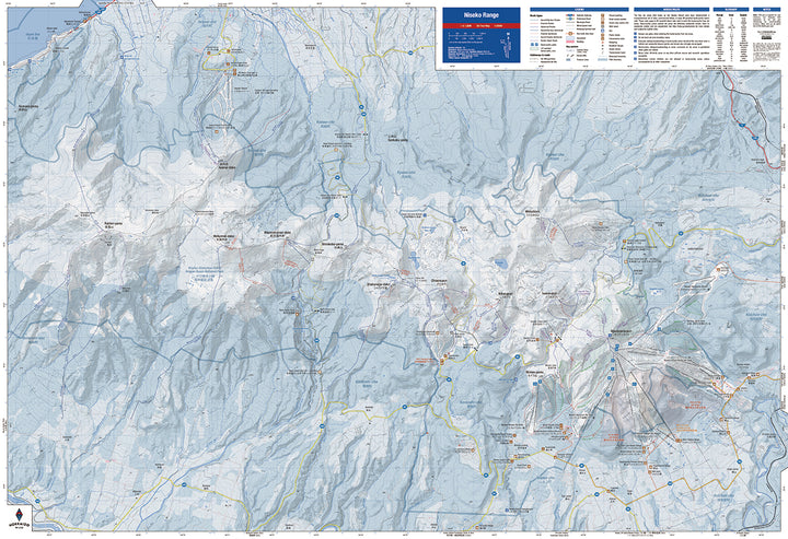
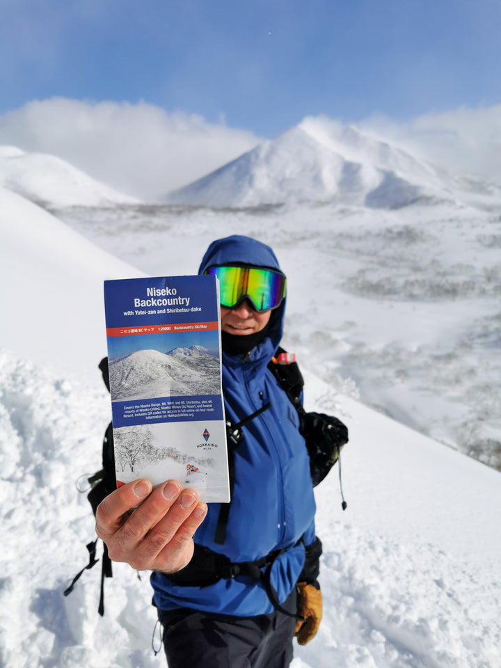
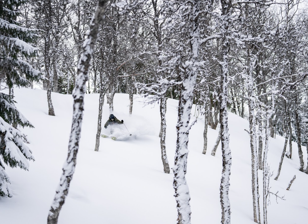
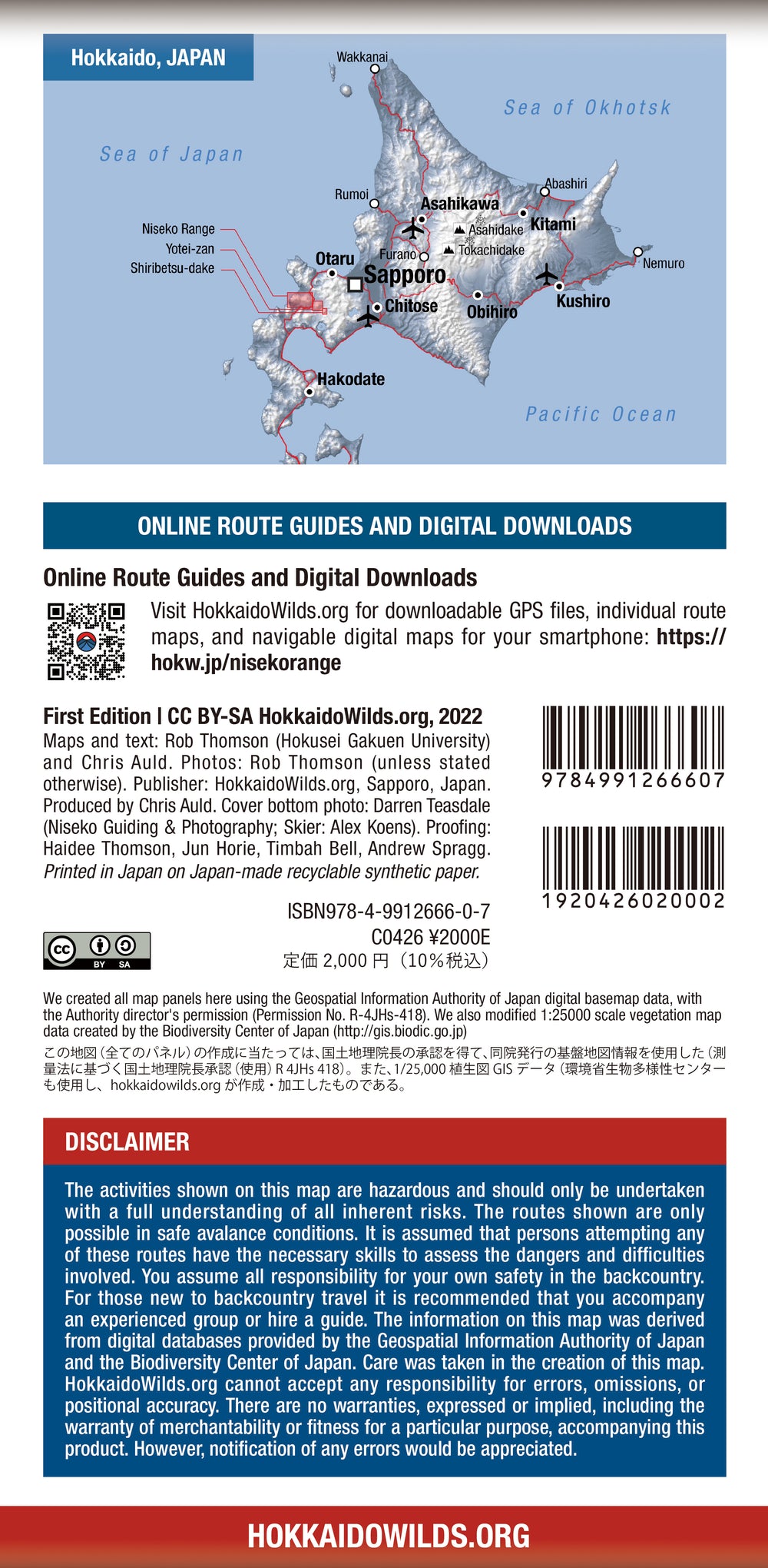
Product Details "Niseko Backcountry" is a full-fledged topographical map for backcountry skiing over a wide area of Niseko, located in southern Hokkaido. The areas covered include the Niseko Mountain Range, Mt. Yotei, and Mt. Shiribetsu. The map is at a scale of 1:25,000, and place names are written in both English and Japanese. It features over 50 classic backcountry routes for area mountain skiing, printed in color on both sides on tear-resistant, water-resistant synthetic paper. This map, which was created based on topographic map data from the Geospatial Information Authority of Japan, shows the up and down lines of the backcountry route in the volcanic terrain that is the unique powder paradise of the Niseko area, and the back side has information on safety, topography, Detailed information on weather, parking, etc. is written in English. It also includes aerial photos of popular backcountry routes and includes QR codes that take you to detailed route guides on HokkaidoWilds.org. Published by HokkaidoWilds.org, one of Hokkaido's largest adventure information websites. Fields included: Mt. Yotei, Mt. Shiribetsu, Niseko Annupuri, Mt. Moiwa, Iwaonupuri, Nitonpuri, Chisenupuri, Weisshorn, Mt. Rhododendron, Mt. Shirakaba, Mt. Menuchi, Mt. Raiden, and Mt. Iwanai. Features: Waterproof | Tear-resistant | Open size: 66cm x 97cm | Folded size: 11cm x 22cm Root type
l ski tour
l Freeride
l expert
map specifications
l Over 50 backcountry ski routes with clearly marked up and down lines
l Place names in English and Japanese
l Also includes popular backcountry areas with lift access around Niseko Annupuri
l Equipped with an easy-to-use 1km UTM grid (also displays latitude and longitude)
l Niseko United Shuttle Bus Routes and Bus Stops
l meters and feet scale
l Detailed instructions for parking at the trailhead
l Detailed safety and terrain explanations
Shipping internationally is possible for a flat fee of 3,500 Yen ! Please email us if you wish to be shipped outside Japan.
